Tropical Storm Arthur forms as Louisiana braces for dangerous flooding
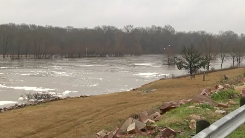
Heavy rain, flash flooding and coastal impacts remain the biggest concerns for Southeast Louisiana
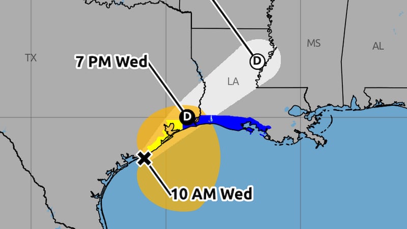
NEW ORLEANS (WVUE) - Tropical Storm Arthur formed Wednesday morning near the middle Texas coast as Louisiana braces for heavy rain, flash flooding and coastal impacts from the first named storm of the Atlantic hurricane season.
As of the 10 a.m. advisory from the National Hurricane Center, Arthur had maximum sustained winds of 40 mph and was moving northeast at 9 mph. The center was about 190 miles west-southwest of Lake Charles and is expected to move inland over southwestern Louisiana by Wednesday night.
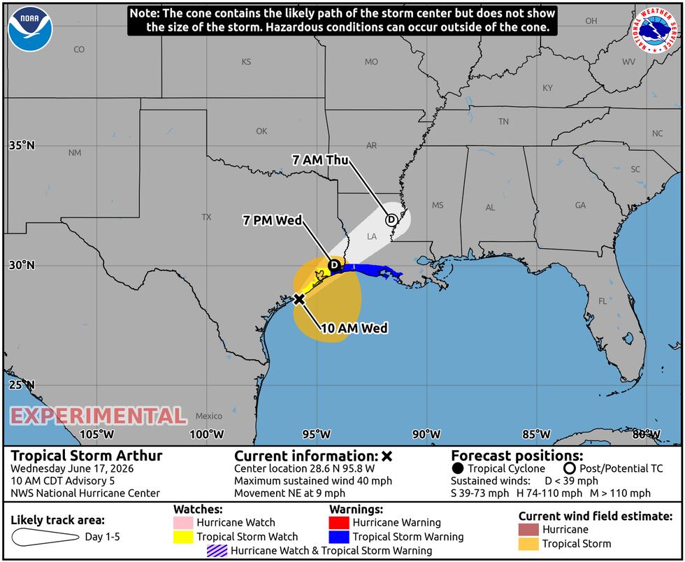
A Tropical Storm Warning is in effect from High Island, Texas, to Morgan City, Louisiana. A Tropical Storm Watch is in effect from Sargent, Texas, to High Island, Texas.
While the center of Arthur is expected to move into southwestern Louisiana, the storm’s heaviest rain could extend far from the center.
Heavy rain threat increases tonight
Tropical rain bands are expected to increase from the Gulf later Wednesday and continue into Thursday morning.
Where those bands set up will determine which communities see the highest rainfall totals. The worst-case scenario would be bands repeatedly moving over urban areas, where water can rise quickly on streets and underpasses.
The National Hurricane Center says Arthur could produce 5 to 10 inches of rain, with isolated higher totals near 20 inches, through early Friday from the Texas coast into Louisiana, Mississippi, Alabama, western Georgia and the Florida Panhandle.
Residents are urged to stay alert through Wednesday night and into Thursday morning, avoid flooded roads and make sure weather alerts are enabled.
Coastal wind, tides and tornado risk
Outside of the heavy rain threat, coastal areas could see wind gusts near tropical storm force, generally around 40 to 50 mph.
Those winds may push higher tides into southern coastal areas. Tides could run 1 to 2 feet above normal in some locations.
The National Hurricane Center says swells from Arthur are also expected to create dangerous surf and rip currents along the northwestern Gulf Coast for the next couple of days.
A couple of tornadoes will also be possible through Thursday from the upper Texas coast into southern Louisiana, Mississippi, Alabama and the western Florida Panhandle.
See a spelling or grammar error in our story? Click Here to report it. Please include the headline.
Subscribe to the Fox 8 YouTube channel.
Copyright 2026 WVUE. All rights reserved.