Valentine's Day severe weather threat
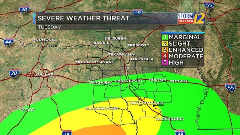
(KSLA) - If you have outdoor afternoon plans with your sweetie this Valentine's Day, you may want to have a Plan B in place. The threat for severe weather exists, especially for those of us south of I-20. A disturbance will move through the region, likely forming a squall line where strong to severe storms may develop. If a warm front lifts far enough north, we could see more severe storms come together, but at that time it does not look like it will quite reach us. Although the worst of the threat looks to be south of the ArkLaTex, it is better to be informed and prepared in case the worst scenario transpires.
The biggest threats will be strong damaging wind and localized flooding from heavy downpours. However, a few tornadoes - especially for areas south of I-20 - cannot be ruled out.
Here's the latest timeline of when you can expect the storms to pass through:
Waking up tomorrow morning to a few showers across the region. No severe weather expected at this time.
Storms begin moving into the western edge of the ArkLaTex. A few stronger storms possible at this time for areas south of I-20.
Line will continue to track through the heart of the ArkLaTex, moving into the Shreveport/Bossier metro area.
Storms exiting the region by the late afternoon.
Stronger storms well east of the region. Rain and a few showers possible. Make sure you bring the umbrella if you have dinner plans for later in the evening.
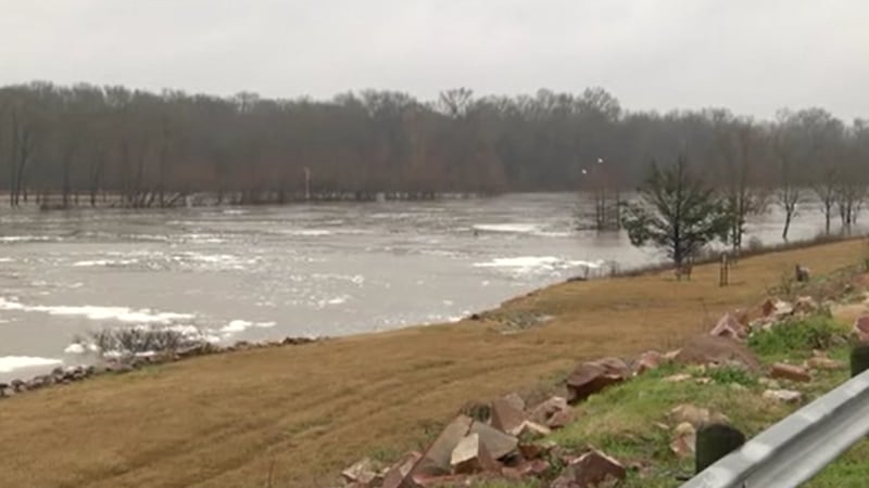
We could also see the potential for some locally heavy rainfall with a few of these storms. Be on the lookout for standing water in flood-prone and poor drainage areas. Otherwise, 1-1.5" of needed rain possible through Wednesday morning.
We'll continue to bring you updates through our StormTracker 12 mobile weather app throughout the evening and day, tomorrow. You can find the free app to download here.
Copyright 2017 KSLA. All rights reserved.